


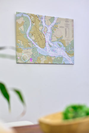
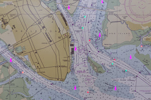
Works perfectly with my Tempest Weather Station. Looks great hanging on the wall! Easy to read and plenty of information provided
easy setup, colorful and intuitive display, looks great. whats not to love?
Is great , but I think that would be nice to be able to programmed to dime the light or to do the schedule on /off
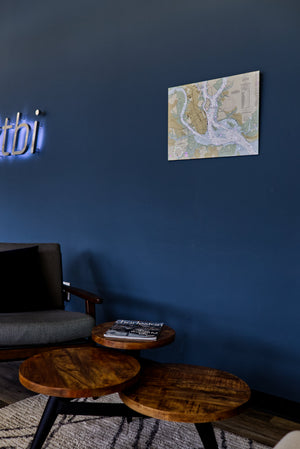
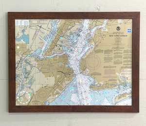
The board looks great, the technique they use to light it up works very well, it will go with any room you put it in. It’s never too bright or too dim because it is self-dimming.
Set up is even easier now. It wasn’t difficult before but this is easier, with the other products sometimes it was hard to capture the set up portal it on my ipad, now absolutely no problem.
Support if you need it is fantastic.
You can actually set it to your home address weather if you get the subscription. And apparently once you get that it can be used for any other boards that support it.
And the cost of the subscription is $12, per YEAR. Not per month.
Get this, you won’t regret it. I’m ordering another as a gift.


