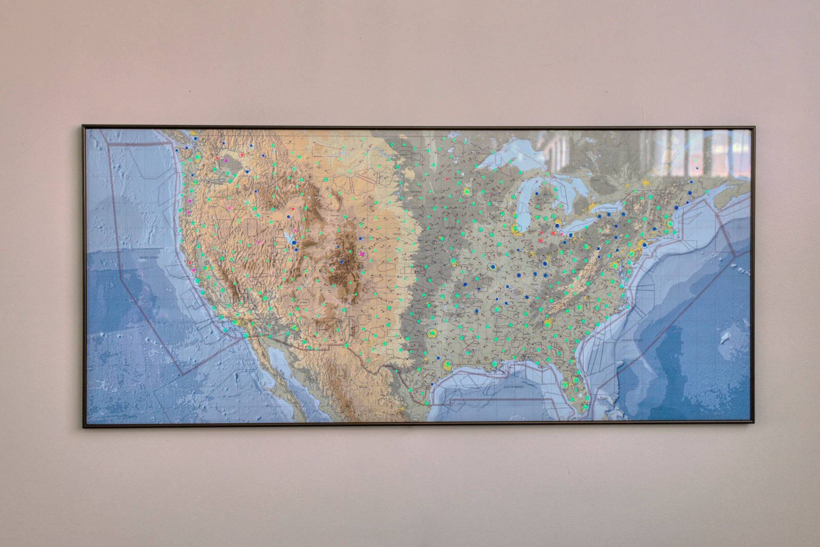
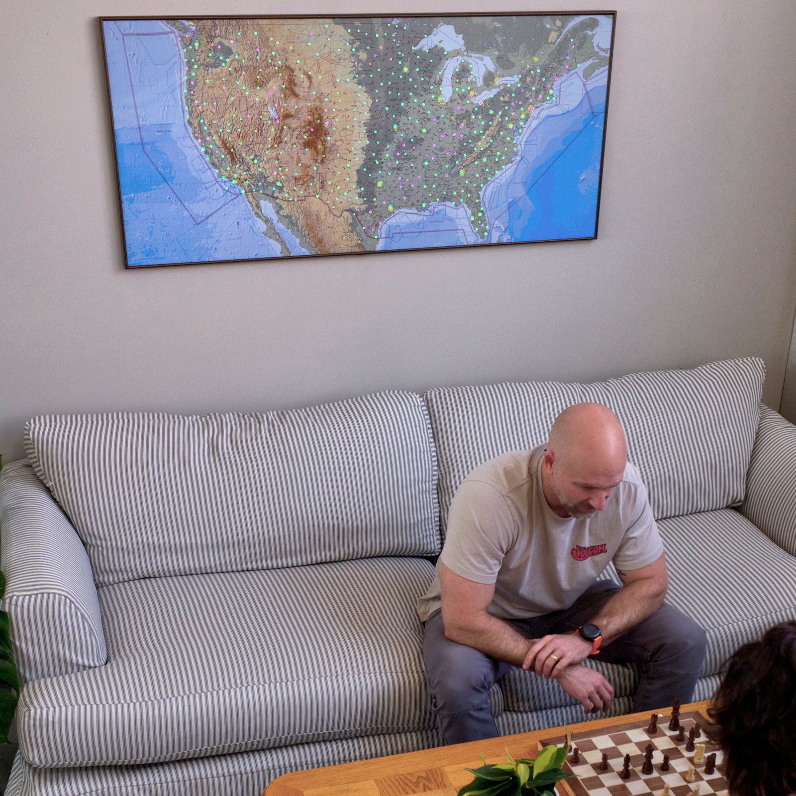
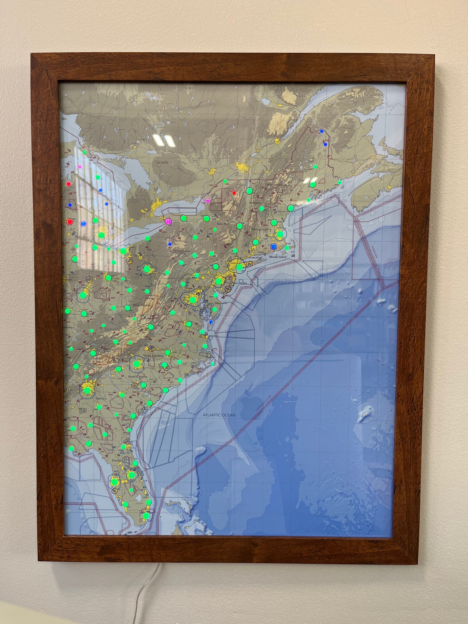
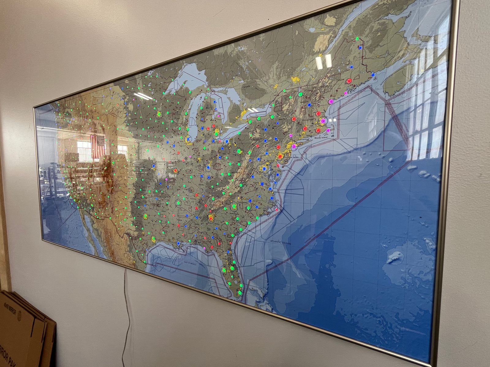
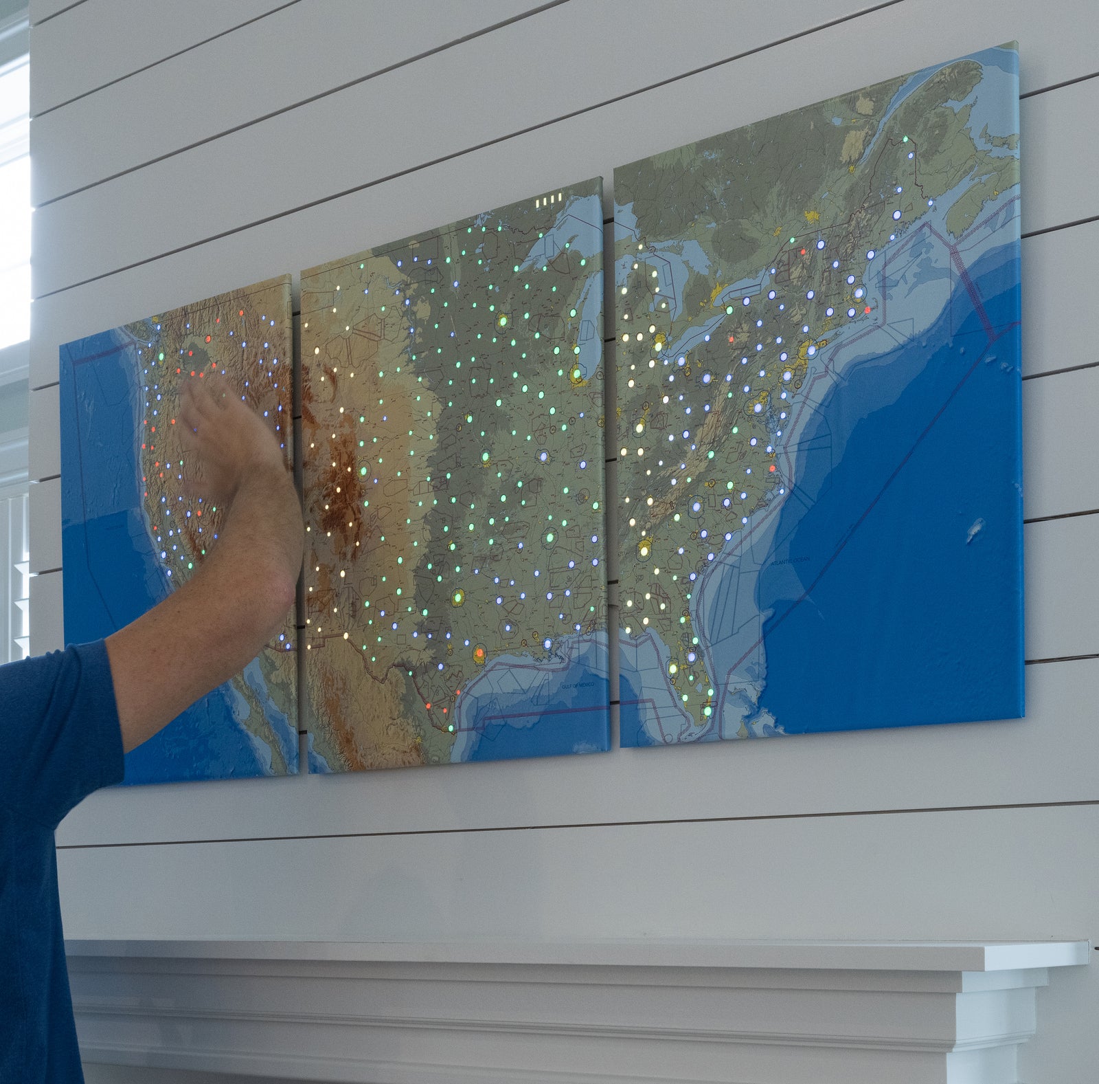
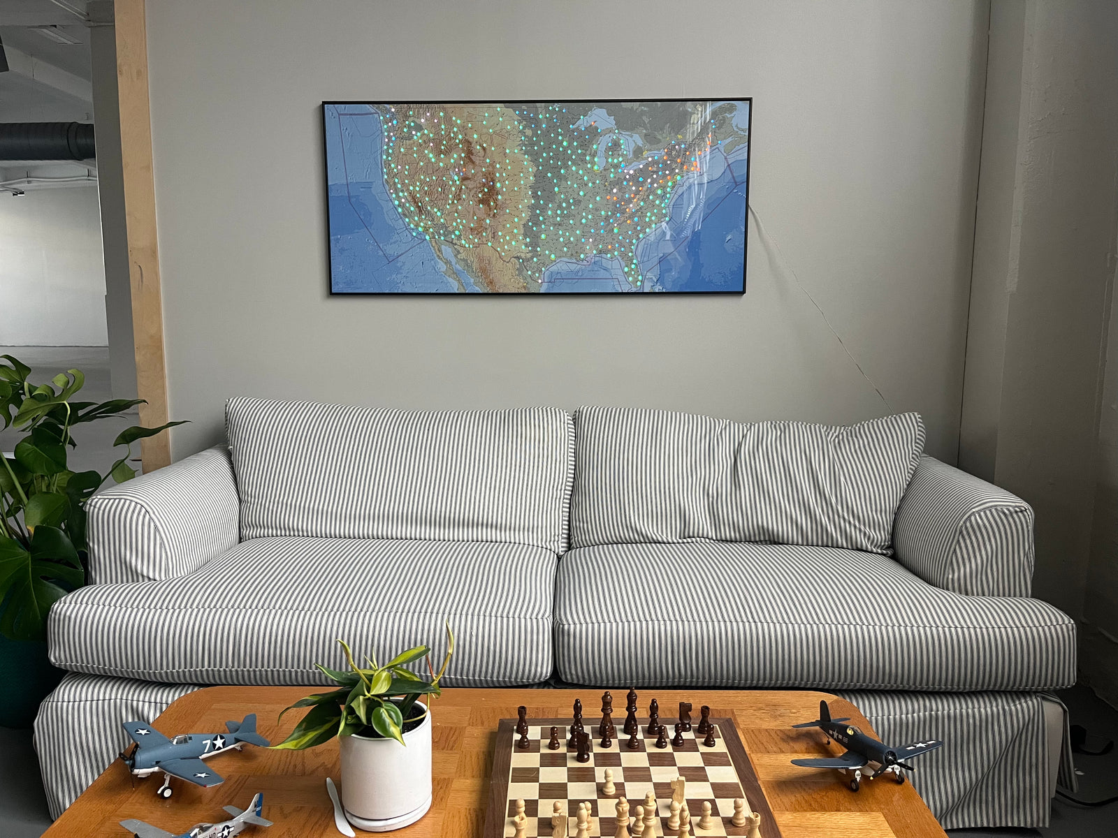
I'm a weather geek and have numerous weather stations. The Tempest is an awesome Christmas present from my wife and we love having it as an app on our phones but it was missing the visual display in our family room. I already have an Accurite, and Davis Instruments display but really wanted something for the Tempest. The Lightmap is PERFECT !! It is bright and clean looking. In just a few days I've trained myself to tell the weather conditions from across the room in my Lazy-Boy (the chair, not me lol). With the other displays, I can't read them far away, but the Lightmap provided something one can glance at and the colors tell the story !!! I had no issue whatsoever setting it up, I read the directions before starting, then followed them exactly and voila' it worked. I would estimate less than 10 minutes total from unboxing to operational.
In short, this is a cool addition to the Tempest !!!!!!
Great addition to our weather station which we rely on since we live on the coast and are boaters .easy to interpret and it looks great!
I had some initial problems with connection of unit so I contacted tech support. They got back to me the next day and resolved the problem. I go to my beach often and the weather on my unit exactly matches the conditions there. Very happy!! I would buy a larger unit if they made one!
