LightMap SEA™

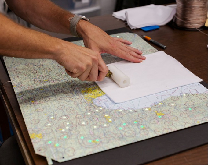
The LightMap SEA™ display is a standard NOAA nautical chart with illuminated wind, tide, wave, and weather conditions. Always on and up to date. Each of the hundreds of lights is projected onto the map surface from the back to give an indication of the conditions in your area. Want to know the future? Simply wave your hand in front of the display to see an animated forecast for the next 24 hours.

Live Weather

We project critical weather data onto the high resolution NOAA nautical chart to give you everything you need to know about current sea conditions.

  • Wind field data (direction and strength) along the waterways
  • Swell height for the area in increments of 2 feet
  • General weather (sun, clouds, rain, wind, snow, and hazard)
  • Tide clock including magnitude
  • Navigational markers and buoys that blink with real patterns

Specifications:

  • Advanced gesture sensor for controlling map display.
  • 24 hour animated forecasts
  • Ambient light sensor adjusts to lighting conditions of the room.
  • Printed area: 23.5" x 17.75" x 0.25"
  • Weighs just over 2 pounds
  • Riveted picture hangars for wall mounting
  • 24 VDC power adapter included
  • 10 feet of power cable included
  • Wifi and BLE enabled

Animated Buoys, Markers, and Winds

Navigational aids, buoys, light houses, and any other important markers are shown with accurate colors and blink patterns. Display options can be controlled from a smartphone during setup, and features can be individually enabled and customized.

The Coolest Tide Clock

We developed our tide clock to provide loads of great information with just a glance. On the corner of every chart, you can see:

  • Current time
  • High tide time
  • Low tide time
  • Tide magnitude (color coded)
  • Tide direction (ebb and flood)

During the animated forecast, this clock moves to indicate the time during the forecast, and can be paused for more detailed analysis.

Packed with information

  • Track real time cargo ship locations within the harbor.
  • Live weather conditions.
  • Lighthouse and buoy channel markers with actual blink sequences.
  • Wave height tracker
  • Wind direction and speed

Interactive and Dynamic

With just a wave of the hand, the built in gesture sensor can be used to:

  • Turn the map on and off
  • Switch between live and forecast conditions
  • Pause the forecast for analysis

In addition, as the lighting in your room changes throughout the day, the integrated ambient light sensor will automatically adjust the brightness of the display.

Beautiful Decor

Our displays are a perfect addition to any room in your home or office. At only 1/4 of an inch thick, they look and feel like traditional artwork. When a LightMap™ display is off, all of the lights are completely hidden giving no sign of the amazing capabilities within.

Frame

We have specially designed frames available to fit the LightMap display panels. Frames are available in black, white, driftwood, and cherry.

Designed and Handmade in Charleston, SC

Our team of engineers and designers developed the LightMap™ digital core from scratch. We design our own maps and graphics, print them in-house, and assemble everything by hand using only the highest quality materials.

Search