


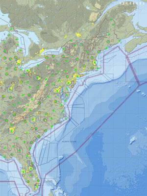
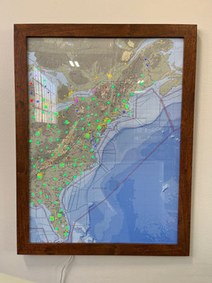


I have both the Airport and Boating LightMaps. I don’t fly or go boating, so they are essentially weather monitors. Living in the coastal zone, the weather can be entirely different between the shore and a few miles inland. The Airport map is almost real time, but the Boating weather is a NOAA product from the closest forecast center. I use one map when heading to the beach and the other when heading into town.
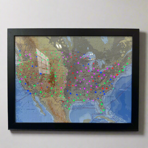
The coolest wall art i’ve ever come across. Very worth the money!