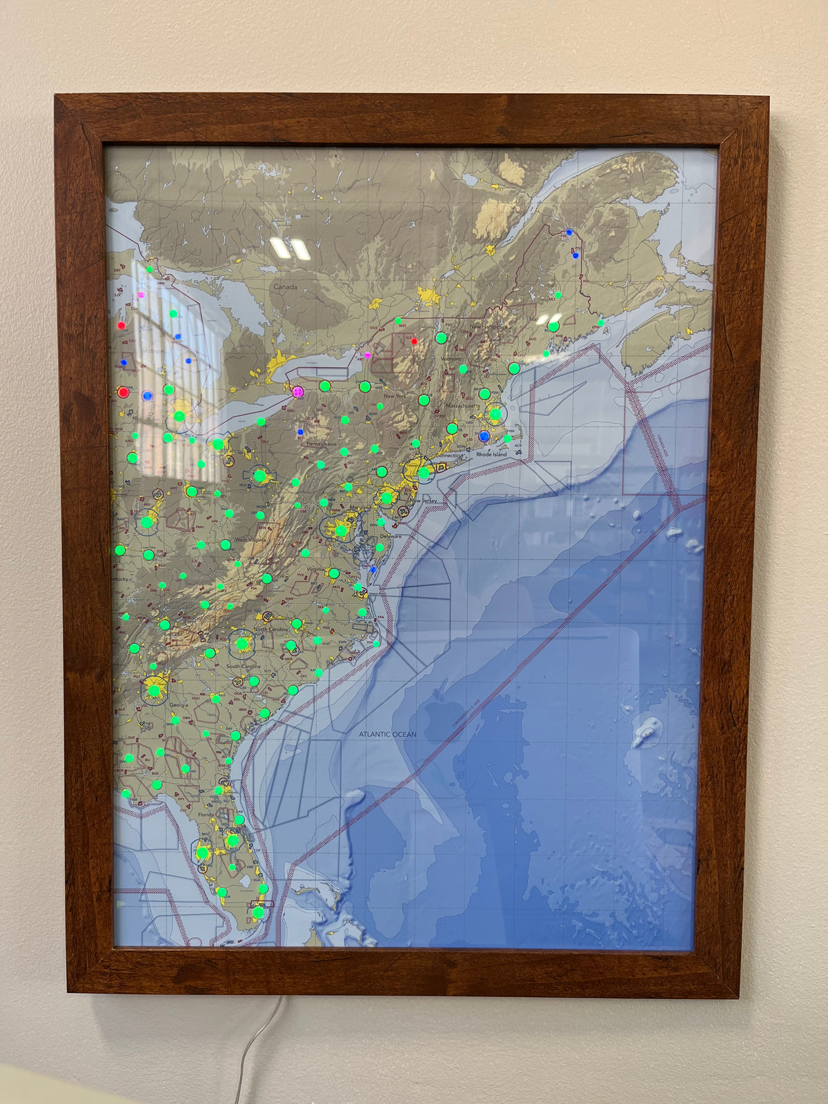
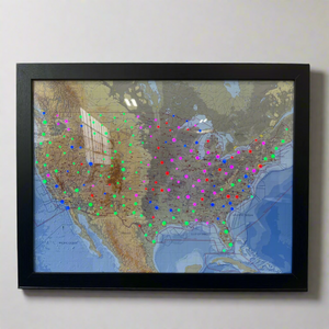
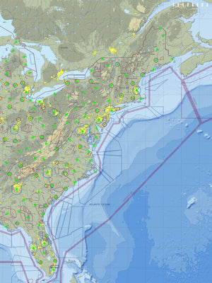
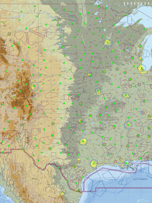
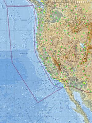
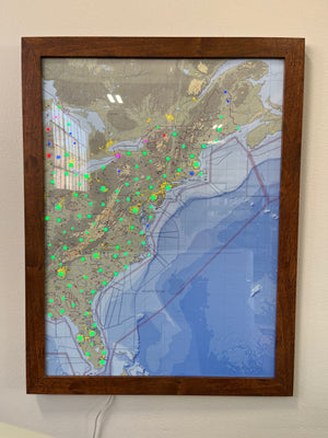
The 2.4 ghz requirement is a challenge and the product should be updated to work on current technology (5 ghz). I still haven't been able to get mine running because my home wifi is 5 ghz.
Looks great ! Takes time to get use to the display readings ! A few things I’m not understanding? Wind speed is not accurate or matching my location!
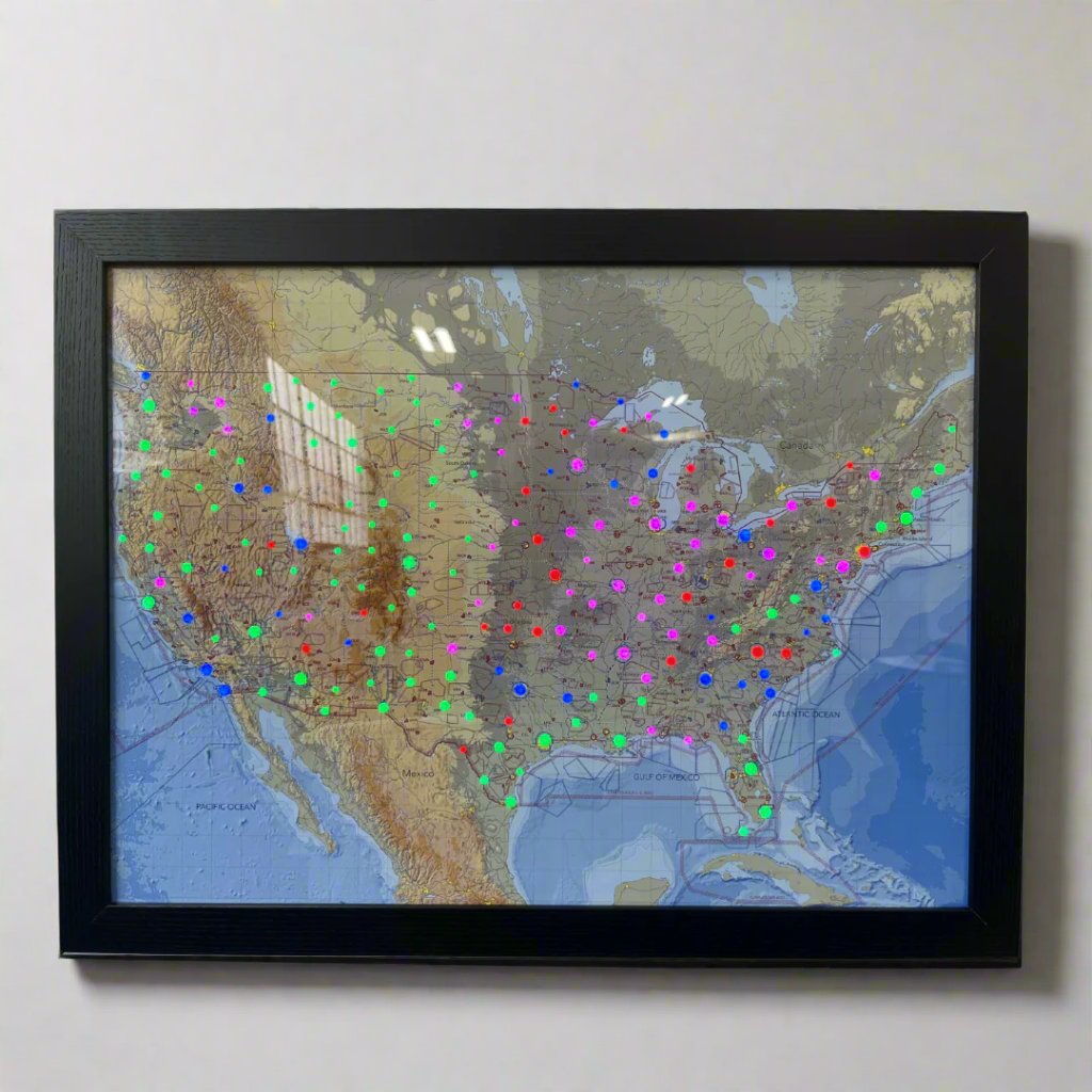
Next as indicated in the illustration as pictured my device is missing wave height and direction! As avid boater i would want that shown ! What I received is not what’s advertised!
The light map with the ocean conditions is very important to me as I work on an island and need to know the conditions there before I get there. It is very accurate with the wind, speed and direction and where the tides are. The only thing I’m not sure about is the ocean water temperature but since it’s been winter and it hasn’t really mattered that much.
Map looks amazing, love the framing, but it doesn’t turn on and off as described. Have to unplug it a lot. Company currently does not have a fix. So ehhh not sure
